


Finding Your Next Fishing Hole with Google Maps and GPS
When one talks about electronic navigation and fishing, usually the conversation is about nautical positioning systems like GPS or the somewhat outdated LORAN system. These play an invaluable role in guiding commercial and recreational vessels to fishing grounds. What sometimes gets ignored is the value personal navigation devices can play for the non-seagoing variety of angler.
I would quite literally be lost without my Google Maps and Tom-Tom GPS. As an expat in a relatively unfamiliar country (Taiwan), one of the biggest challenges I face is locati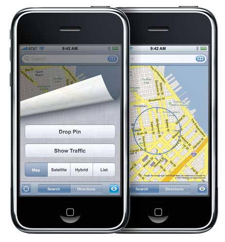 ng potential fishing spots. Local anglers with a lifetime of experience locating honey holes are friendly enough, but understandably reluctant to reveal their favorite spots to an outsider.
My weekend fishing adventures usually begin by pouring over Google Maps on my computer, scoping out ponds on remote back roads near my home or jetties and tiny harbors along the coast. The satellite and street view allow me to locate landmarks nearby so I have a visual reference point when nearing my destination.
If traveling by scooter, I generally rely on the Google Maps app on my iPhone. I usually have to pull over from time to time to check my progress, but it’s better than nothing. When I have the car, the Tom-Tom guides me to my destination with turn-by-turn instructions.
Neither system is infallible. Google rarely updates its satellite view and even its street view shots quickly become outdated in Taiwan’s rapidly shifting landscape. Two weeks ago, I rode my scooter for nearly an hour from Sanxia to Taoyuan to check out a commercial pond near the international airport. The street view shots couldn’t have been more than a year old, so one can imagine my surprise when I pulled up at the location only to find a dry weed-filled pit where my pond should be.
Even the GPS can lead one astray. What should have been a quick outing to a nearby harbor last week, turned into a journey of more than an hour through multiple counties because of some incorrectly entered coordinates.
Still my GPS/Google Maps combo has paid off more often than it has lead me into the unknown. It’s the next best thing to a guide when exploring the bays and back roads in unfamiliar territory.
 Chris Jackson | 1 Comment | 2 References | Share Article | tagged General
